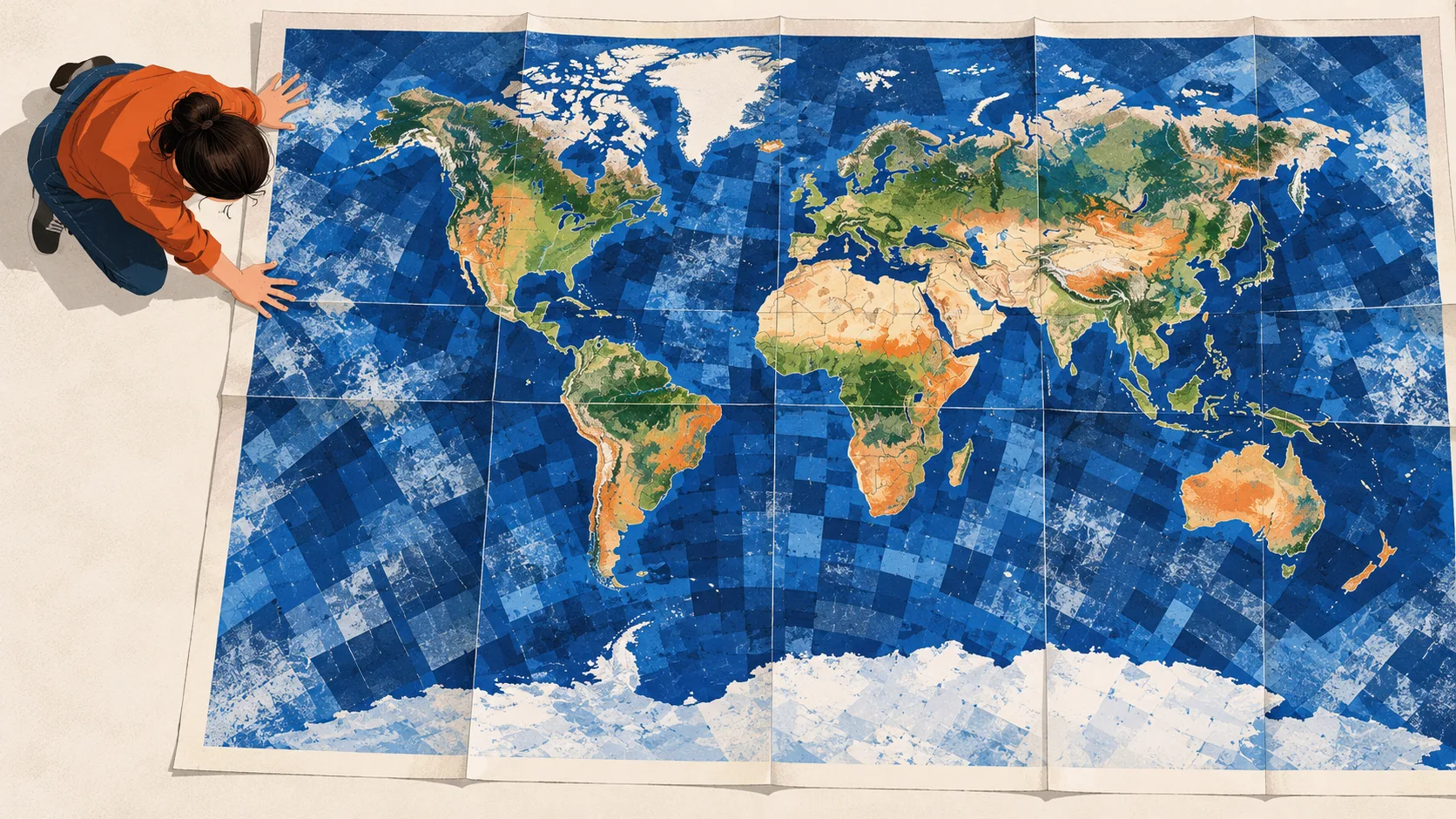

Ai2, the Allen Institute for Artificial Intelligence, has released OlmoEarth v1.3 alongside precomputed annual satellite embeddings for the whole planet. A new browser-based tool lets users explore the data and make maps without signing in.
OlmoEarth compresses a year of satellite observations into a numerical fingerprint for each patch of ground. Its finest resolution covers 10-by-10-meter patches. The release also offers 64-square-meter and 128-meter resolutions. Other software can use the fingerprints to distinguish crops, forests, mines and other types of land cover.
The model draws on radar and optical satellite data, including Sentinel-1, Sentinel-2 and Landsat. Sentinel-1 measures radar reflections. Sentinel-2 and Landsat capture visible and infrared light, giving the model complementary views of the ground.
 Read nextInception releases Mercury 3 with faster results in its own tests
The explorer speeds up initial analysis
Previously, using OlmoEarth primarily meant fine-tuning a model in OlmoEarth Studio for each task, then running it over satellite data to produce a map. That process requires substantial GPU resources and the ability to download and store imagery. Ai2 says a first pass that could take hours of fine-tuning can take seconds in the new OlmoEarth Embeddings Explorer.
Ai2 also says v1.3 was cheaper to train than earlier OlmoEarth models. It used 53% of the computing time and 50% of the carbon emissions of v1.2. Compared with v1, those figures were 18% and 22%. The model remains available for fine-tuning when a task needs it.
Mining changes appear in the embeddings
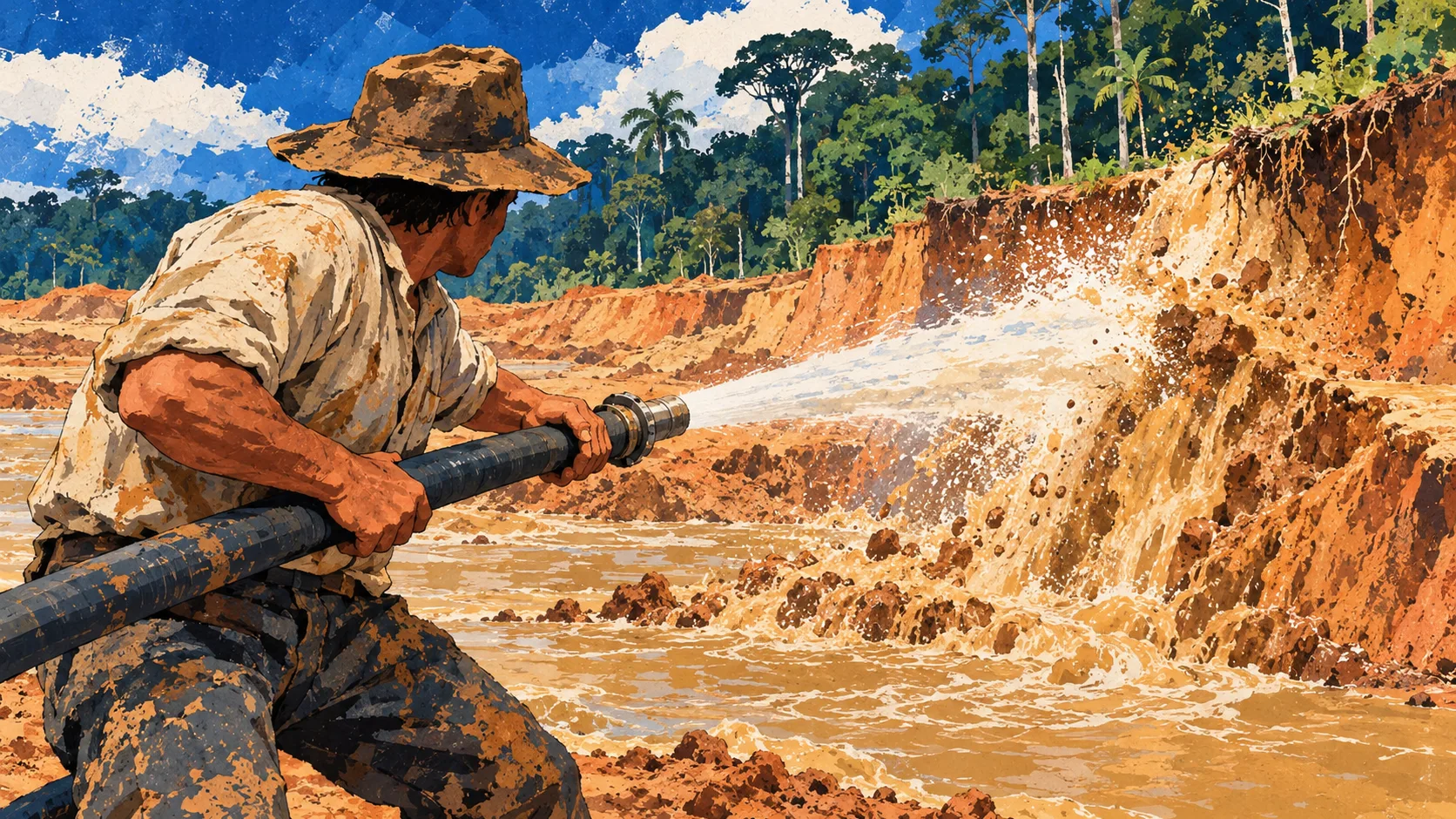
Ai2 illustrated the tool with Peru’s Madre de Dios region. According to the Amazon Conservation Team’s MAAP monitoring program, illegal gold mining around La Pampa peaked in 2017 and 2018, clearing more than 1,200 hectares of forest in the buffer zone of the Tambopata National Reserve. Peru’s Operation Mercurio shut down most of that activity in February 2019.
A comparison of embeddings from 2016 to 2020 showed an eastward push in the southern mining belt, with 34 square kilometers of significant change. The comparable figure for 2020 to 2024 was 9 square kilometers. The comparison required no model training. Ai2 says an agricultural analyst could likewise map oil palm cultivation and flag areas where plantation expansion may have replaced forest.
Teams can analyze a region using a handful of labels without a GPU. If the initial result points to a task that needs fine-tuning, they can use the embeddings to decide where to spend computing time and identify where the model falls short.